Post
REPORT | The Survey of London
23 Feb 2018
On 6 February the Society met at the offices of Studio Egret West to hear Peter Guillery, Senior Research Associate at the Bartlett School of Architecture give an illustrated overview of the origins and development of the Survey of London and discuss their recent projects in Clerkenwell, Marylebone and Whitechapel. Xuhong Zheng of Hawkins Brown was in the audience.
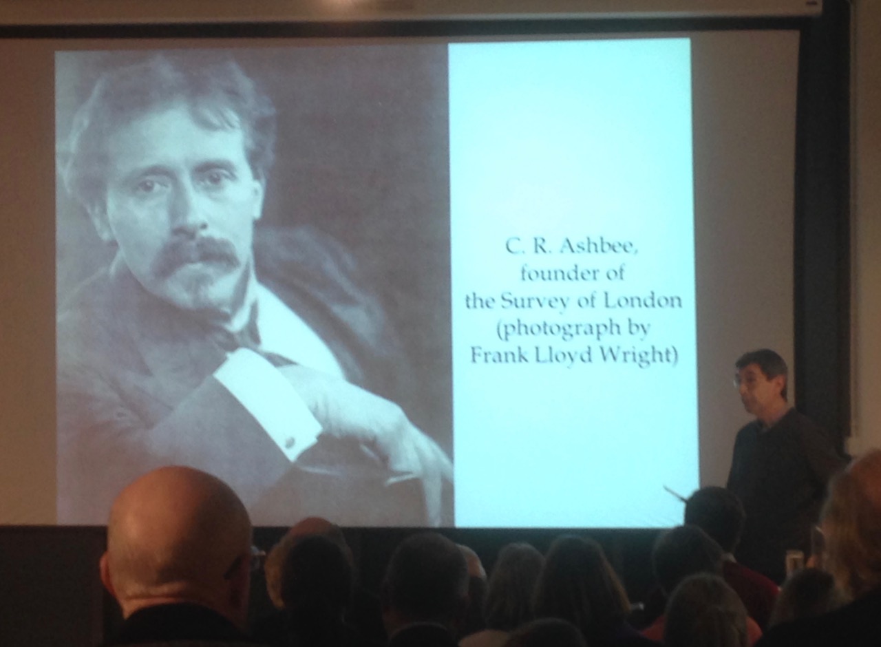
The Survey of London is 124 years old and provides detailed architectural surveys and accounts of areas of London. Peter explains that it does not aim to provide a full spectrum overview of London, but instead aims to use buildings to explain how the city has developed, to provide an historical perspective to contemporary debate and to influence change through understanding. Charles Robert Ashbee, founder of the Survey, was alarmed by the demolition of buildings in East London at a time when there were no statutory protection on historic buildings. It is interesting that he believed “old buildings could enhance the lives of ordinary lives of Londoners”, in a similar way to how open spaces in cities can enhance our lives.
Peter showed us a variety of illustrations and extracts from different volumes of the Survey, conveying the detailed and thorough research carried out. Some drawings illustrate construction details whilst others reveal the history of alteration, division and extension of buildings such as No. 20 Cavendish Square. The project aims to maintain readability and to communicate something original through primary research, as well as using many secondary sources such as historic maps and deeds registries. It also captured buildings that were soon to be demolished, such as around St Mary’s and Morris Walk Areas. The Survey volumes are available online as well as in print from British History Online.
I was most intrigued by the Survey’s current project at Whitechapel that focuses on exploring new methods of research and more public engagement. A participatory website https://surveyoflondon.org/ was launched in 2016 that asks the public to share their memories, photos and stories of the area. The interactive map also allows us to explore the history of different buildings in the area. The project is a fantastic way of encouraging more people to engage in the diverse and fascinating histories of the buildings, streets and neighbourhoods, collaborating with local groups and communities.