Post
REPORT | London's Planned Road
29 Sep 2019
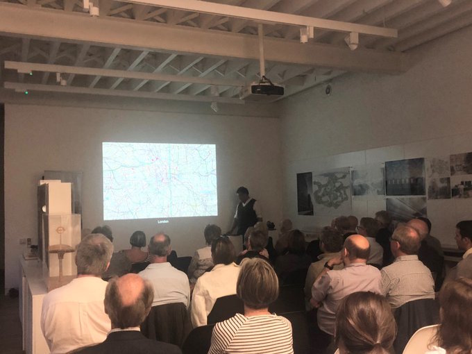
On 26 September Alistair Lenczner of Expedition Engineering gave a talk at the office of Weston Williamson and Partners as part of the Society's 'Engineering' theme for this year. Roger Cline was in the audience.
Alistair Lenczner, a Chartered Engineer with a career at Arup’s, Foster and Partners and on the Millau viaduct in France reviewed the planned roads of London. He said he was no historian but the talk showed that he was too modest, as dates and progress were listed pretty accurately, at least to your blogger’s knowledge
Roads were planned as a strategy to make a city work better. They were provided by local or national government and the review excluded roads laid out on private estates. In other countries where cities were first laid out in the last two hundred years New York was given an orthogonal grid of streets with a rectangular Central Park. It does not have mews-type delivery streets so all servicing has to be done on the main street. Chicago a few years later rectified this omission. Most US cities have their street grids aligned with the cardinal points. In Europe Barcelona was planned in 1856 with a grid having additional diagonal streets; it also had blocks with chamfered corners for road safety and opening up intersections. Paris was developed by Hausmann in 1853-70 where, beside the streets, the buildings were made uniform in street elevation, colour and height.
London had a longer history and the Roman roads provided access to important Roman provincial towns from the twin hills where St Paul’s Cathedral and Leadenhall Market now stand. After the Great Fire in 1666, inevitable with the closely-packed wooden buildings, Wren and Evelyn proposed new street patterns but existing land-owners needed to rebuild on their original holdings in order to get back to business as soon as possible, so the medieval street pattern was retained.
Lambeth was a marshy area on the inside of the Thames curve, but when bridges had been built at Westminster(1746) and Blackfriars (1769) it became economic to drain and develop the area, with planned roads radiating into St George’s Circus in 1771, just north of Elephant & Castle, although the buildings were mainly industrial or housing for working classes. Even in the twentieth century when the Bakerloo Railway was built, St George’s Circus was by-passed and more passengers were sought from the Bethlem Hospital area (now the Imperial War Museum) with a station at Lambeth North.
In the early nineteenth century Regent Street was built to connect the Crown Estate development of villas and terraces in Regent’s Park to Carlton House and Parliament (with a subterranean sewer connected to the Thames). Its northern end at Park Crescent was aligned with the already built Portman Place, but it had to do a dog-leg turn to avoid Foley House (now the Langham Hotel). Nash built substantial houses along the main part of Regent Street with a further crescent to the south to avoid the church of St James, Piccadilly. Between the further crescent and Piccadilly is Vine Street which appears on the Monopoly board in a group with Bow Street and Marlborough Street – they all had police stations. The current buildings on Regent Street are taller replacements from the early twentieth century.
The junction of the further Crescent with Piccadilly was expanded into Piccadilly Circus when Shaftesbury Avenue was driven though the poor streets of south Soho in 1877. The statue of Eros (strictly it is Anteros) is shooting an arrow but the shaft of the arrow has been shot to the ground as it is a memorial to Lord Shaftesbury.
Joseph Bazalgette was Engineer to the Metropolitan Board of Works and in response to the Great Stink of sewage in the Thames preventing the Houses of Parliament sitting devised interceptor sewers taking sewage to the east before it reached the Thames, the lowest interceptor sewer running along the Victoria Embankment built out along the Thames shore in the 1860s. The interceptor sewers emptied into the Thames at Beckton (from the north) and Crossness (from the south) originally untreated, but later treatment works were added on the banks of the river. The Embankment had gardens over subways for the new Underground Railway and utility supplies as well as the sewers. Later the Albert Embankment was built on the southern shore and the Chelsea Embankment further upstream.
Kingsway was built in 1900 to provide a north/south route between the City and the West End for commercial traffic generated by the railway termini and with a subway for the trams which were being electrified at the time. The trams ceased running in 1952 and the southern end is now used as the Strand Underpass and the northern end after operating as a Thames Flood Control centre is now being used during the construction of the CrossRail/Elizabeth Line
Plans for rebuilding London after WW2 envisaged several orbital and radial motorways, of which the M40 Westway viaduct was the first to be built in the 1960s, involving massive displacement of people and a reaction against the motor vehicle in the centre. We saw a residential block in Brixton with small windows on one elevation to exclude the noise from the never-built inner portion of the M23 motorway.
The review did not cover all the planned roads in London, but did extend to the more recent Limehouse Link built underground (and under the water of the Regent’s Canal dock) to assist access to Canary Wharf and points further east, one of the most expensive schemes in cost per mile. The inner end of the M11 was built in tunnel at Wanstead and cut through residential streets at Leyton and Leytonstone. New roads have also been built in tunnel in Paris and New York.